
Online:
Mission information: http://aquarius.nasa.gov/
LOS ANGELES - An international mission will chart the saltiness of the ocean - from outer space.
An Argentine-built spacecraft carrying instruments from the United States and other nations is set to launch Thursday from the Vandenberg Air Force Base along the central California coast aboard a Delta 2 rocket.
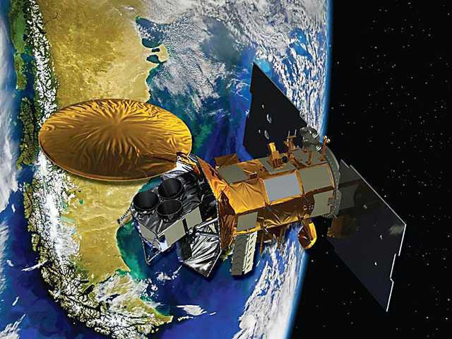
The craft will circle 408 miles above the Earth and will use a NASA-built instrument to map weekly changes in the levels of brine in the sea. NASA's Aquarius instrument is so sensitive that it can detect changes down to a dash of salt in a gallon of water.
Nearly three-quarters of Earth's surface is covered by water, which contains about 3.5 percent salt. Though the amount of salt in the world's oceans remains mostly unchanged, the brine concentration in the topmost layer varies around the globe.
Understanding how brackish the sea surface is will help researchers better predict future climate change and short-term climate phenomena such as El Nino and its alter ego La Nina, which can have profound effects on weather around the world.
A fleet of Earth-orbiting satellites routinely provides updates on sea surface temperatures, sea level changes and ocean winds. But measurements of dissolved salts in the ocean so far have been limited, sporadically measured by ships and buoys.
"There are vast tracts of the ocean where salinity has never been collected - ever," NASA's Eric Lindstrom said at a pre-launch news conference.
The $287 million Aquarius - Latin for water-bearer and named after the constellation - is designed to measure microwave energy emitted by the ocean, giving scientists an idea of the saltiness. To prevent interference from radio, radar and other noise, another instrument will doublecheck the data and correct for any wrong readings.
Aquarius is expected to provide scientists with monthly maps depicting ocean salt variations over its three-year mission.
The project is a joint venture between NASA and Argentina's space agency CONAE. Other participating countries include Brazil, Canada, France and Italy, which will collect environmental data.
It's not the first to do ocean remote sensing of salt levels. Once in orbit, the spacecraft will join a dual-purpose European satellite that has been collecting data on ocean salt and soil moisture since 2009. Unlike the European mission, the new project is dedicated to the ocean and uses different technology to make measurements. It's not unusual to have several overlapping Earth-observing satellites.
Scientists from both missions plan to combine data and compare results, said Gary Lagerloef of the Seattle-based nonprofit Earth & Space Research.