
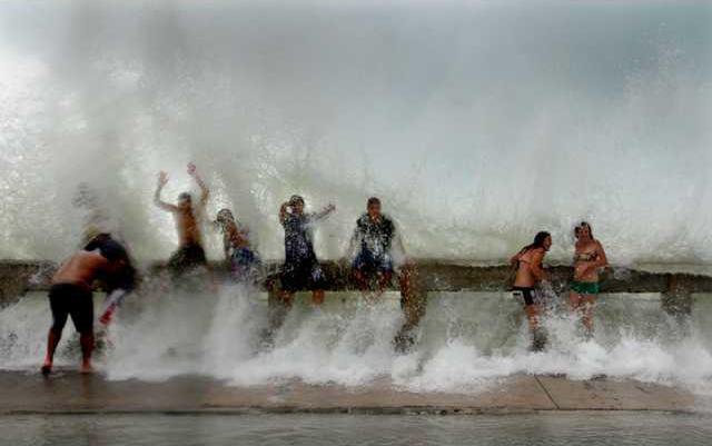
Forecasters aren't sure what Tropical Storm Fay will do – become a hurricane, turn left or stay right, become a hurricane or a tropical depression.
What they do know is, she'll bring rain to Southeast Georgia. Perhaps lots of rain.
The uncertainty of the storm has local and state officials casting a watchful eye, along with that of the National Weather Service.
Bulloch County Public Safety Director Ted Wynn has been in steady contact with NWS officials, keeping track of the storm in case steps need to be taken in Bulloch County to protect and inform citizens.
After a Monday afternoon teleconference with NWS officials in Charleston, Jacksonville and Tallahassee, he said: "They all feel the storm should weaken over Florida, but some models have it staying over the warm waters of the Gulf which could allow it to strengthen,"
And, some predictions were that the storm could move across Florida, "which could prove interesting for us, but that is not what they believe will happen," he said." The most likely impact for us at this time is some much needed rain and winds below tropical storm force strength. However, this could change so stay tuned."
Just three hours after the teleconference, a NWS meteorologist in Charleston said the storm had changed.
Joe Calderone said Tropical Storm Fay was expected to come into northern Florida and Southern Georgia sometime Wednesday afternoon and evening, slowing down and weakening.
He predicted the storm would travel north-northeast, but then "take a sharp turn to the left" going west-northwest. But "there's still a lot of uncertainty" and things could change at any time, he said.
As it stood early Monday evening, predictions were that the Statesboro-Bulloch County area will get some soaking rain between Thursday and Saturday.
National Hurricane Center reports predicted rainfall "expected upwards of four inches in southeast Georgia," with possible tornadic activity but no flooding expected because of the drought conditions.
Calderone said the storm is expected to weaken to tropical depression strength, but 20-30 mile-per-hour winds, "minor to heavy rains and maybe an isolated tornado threat."
Still, the nature of a tropical storm or hurricane is unstable and quite unpredictable.
"I would remind you to look at the cone of uncertainty," Wynn said. He expects another conference call this afternoon around 2 p.m. with state officials regarding the storm.
Information on Internet web site www.weather.yahoo.com Monday predicted thundershowers throughout the week, with high temperatures in the high 80's to low 90's, with lows in the mid-to high-70's.