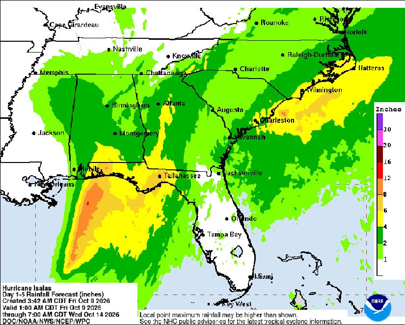
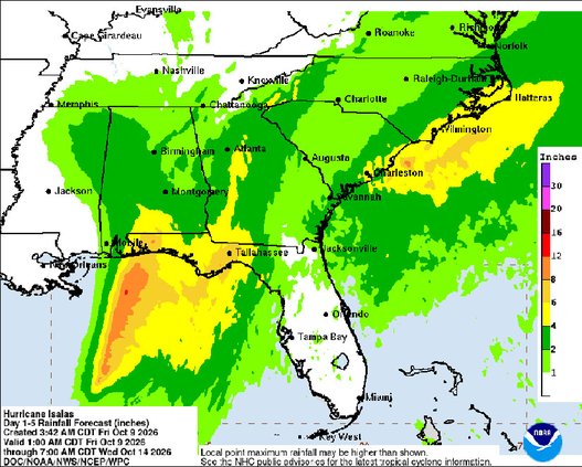
Hurricane Isaias is forecast to bring a few inches of rain and stronger than usual winds to the Bulloch County area beginning Friday evening and lasting into Sunday.
The hurricane, which strengthened into a Category 3 storm Friday morning with winds of 120 mph, is expected to make landfall on the Gulf Coast, near Pensacola, Friday evening.
The National Weather Service is forecasting showers to begin in the Statesboro area tonight, with a possible thunderstorm after 11 p.m. Sustained winds could reach 15 mph, with gusts up to 30 mph. Rain with a chance of thunderstorms is predicted for all day Saturday with winds 14-16 mph and gusts up to 25 mph.
Hurricane Helene in September 2024 struck the Florida panhandle and then veered into eastern Georgia, causing significant damage and power outages in the Bulloch County area. Isaias is not forecast to take a similar path, Georgia Emergency Management officials said in a press conference Thursday.
In issuing a state of emergency order Thursday, however, Gov. Kemp urged all state residents to monitor the path of the storm, recalling what happened with Helene.
“There was going to be historic flooding in Atlanta, and the storm was going to hit Atlanta, and it turned east and, as you know, hit Augusta,” he said. “These storms can move and turn, and you just don’t really know.”
The 2026 hurricane season has been quiet, which weather experts attribute to the suppressing effect of El Niño on storms. In fact, Isaias now holds the record for the latest forming first hurricane in the Atlantic Basin, which includes the Gulf of Mexico.